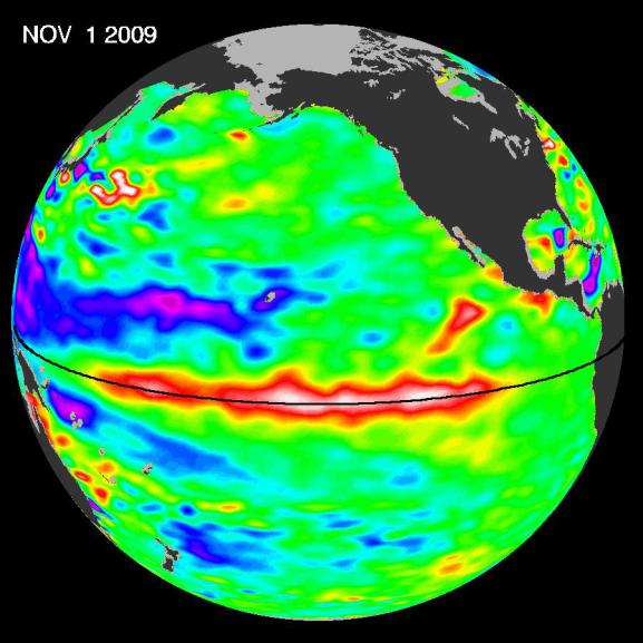
Image courtesy NASA/JPL Ocean Surface Topography Team
Hold onto your surfboards, El Niño is experiencing a late-fall resurgence. A recent weakening of tradewinds in the western and central equatorial Pacific triggered a strong eastward wave of warm water known as a Kelvin wave. It’s headed to South America.
You can see the wave in the red-and-white line marking an area of sealevel in the central and eastern equatorial Pacific standing 4 to 7 inches higher than normal. That’s the result of heat expansion where sea surface temperatures have risen 2 to 4 degrees Fahrenheit above normal.
In contrast, the western equatorial Pacific is experiencing lower than normal temperatures, with sealevels 3 to 6 inches below normal. You can see that in the blue and purple areas.
The image was created with data collected by a US/French Space Agency satellite (the Ocean Surface Topography Mission/Jason-2 oceanography satellite) during 10 days this month.
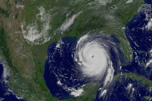
Forecast: Everything gets wilder.