On Friday it was time to come home. I accidentally drove up a street reserved for buses in order to connect to the highway to the airport, but that was all. Not bad for Bogotá!
The drive to El Dorado Airport was uneventful, but once I got there I found no signs telling me where to return my car. Very odd. I made a second loop and still didn’t see anything. So I pulled into a parking lot and left my Renault in the exact same spot I picked it up from. Then I went in and told the guy at the Avis counter what I had done. I assured him I had left the keys in the car and he looked up my name on their list. “No problem,” he said cheerily, “have a nice flight.” I guess it all worked out since I haven’t yet received a phone call from Avis Colombia asking why I stole their car.
You may think that this is about it for my Colombia diary. Far from it. In fact, I was sorry to board the plane because the weather and the clouds were so stunning on Friday. But things have a way of working out. I had a seat in row 2, in front of the wing, and for perhaps the first time ever, a window that was pretty clean. This all conspired to produce my biggest haul of great airplane photos ever. Naturally I’ll share them with you. In order to follow along, here’s our departure path from the airport:
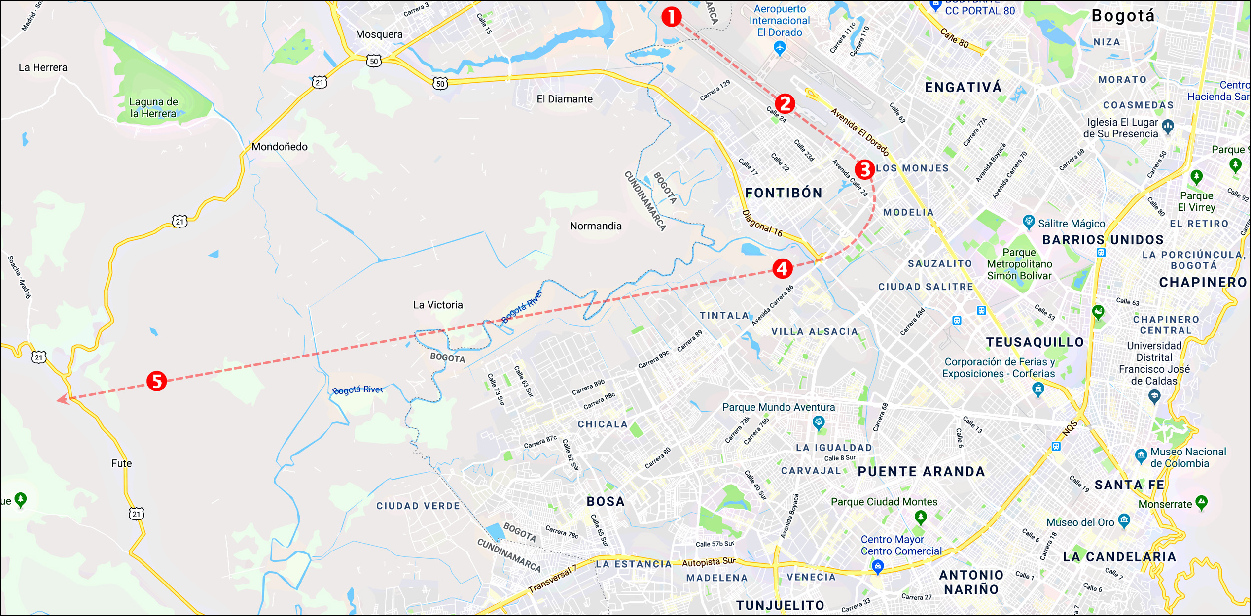
The westbound departure pattern from Bogotá’s El Dorado Airport.
First up is the airport’s control tower as the plane taxied into position for takeoff.
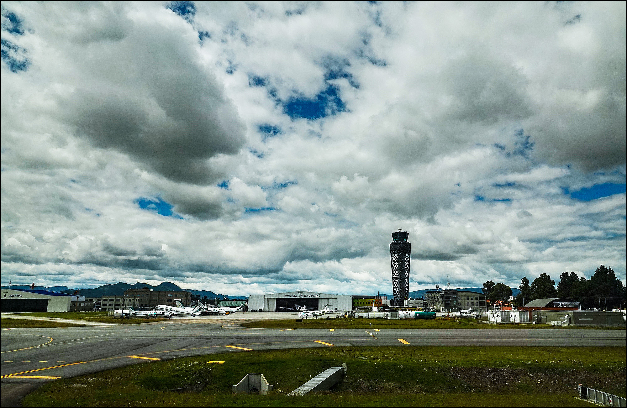
The control tower at El Dorado Airport.
A few seconds after wheels up we passed the Fontibón neighborhood on the right side of the plane. You can see a soccer pitch on the bottom right of the photo.
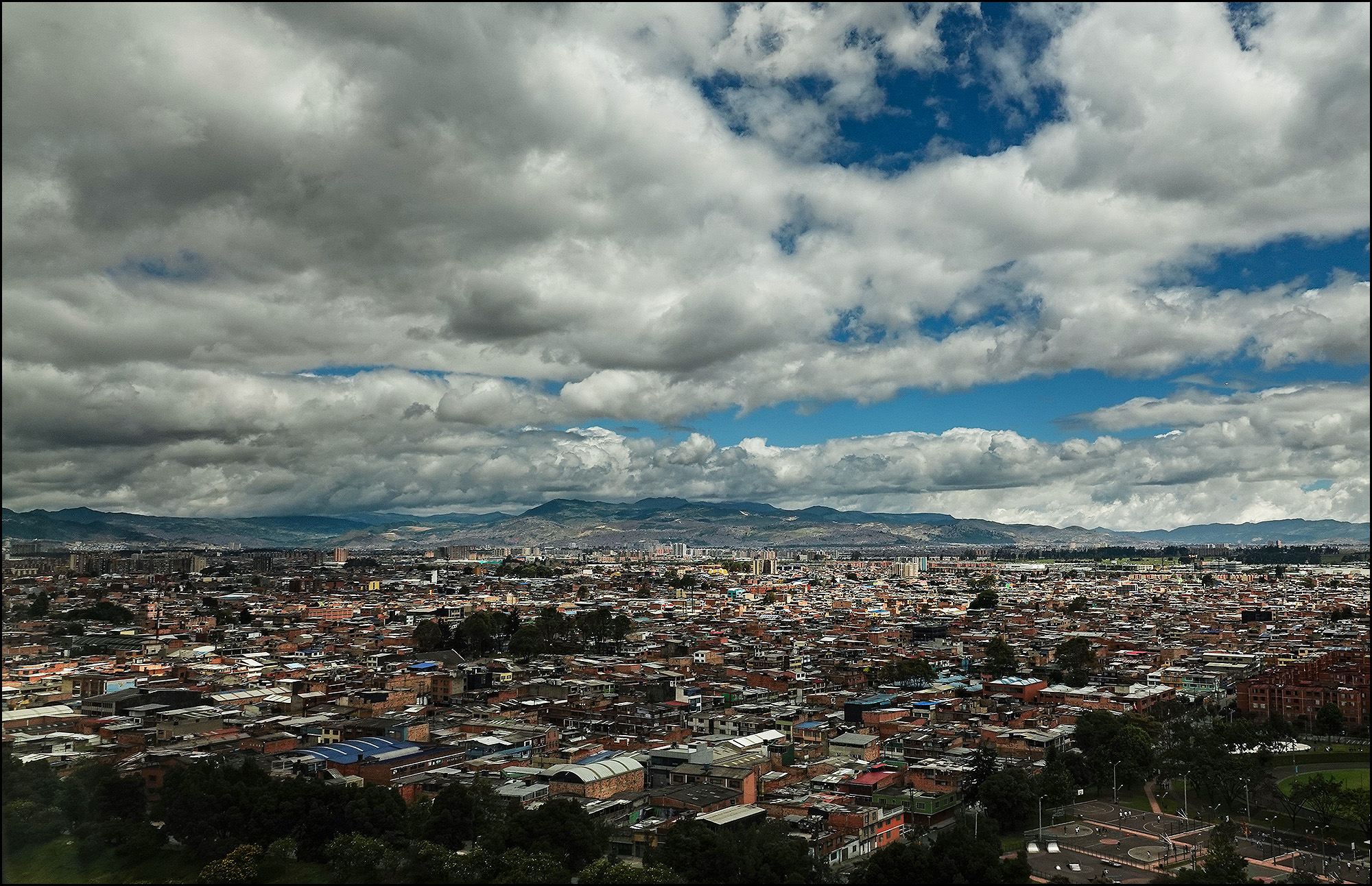
The Fontibón neighborhood of Bogotá.
Next we passed the Parque de Ventas La Felicidad.
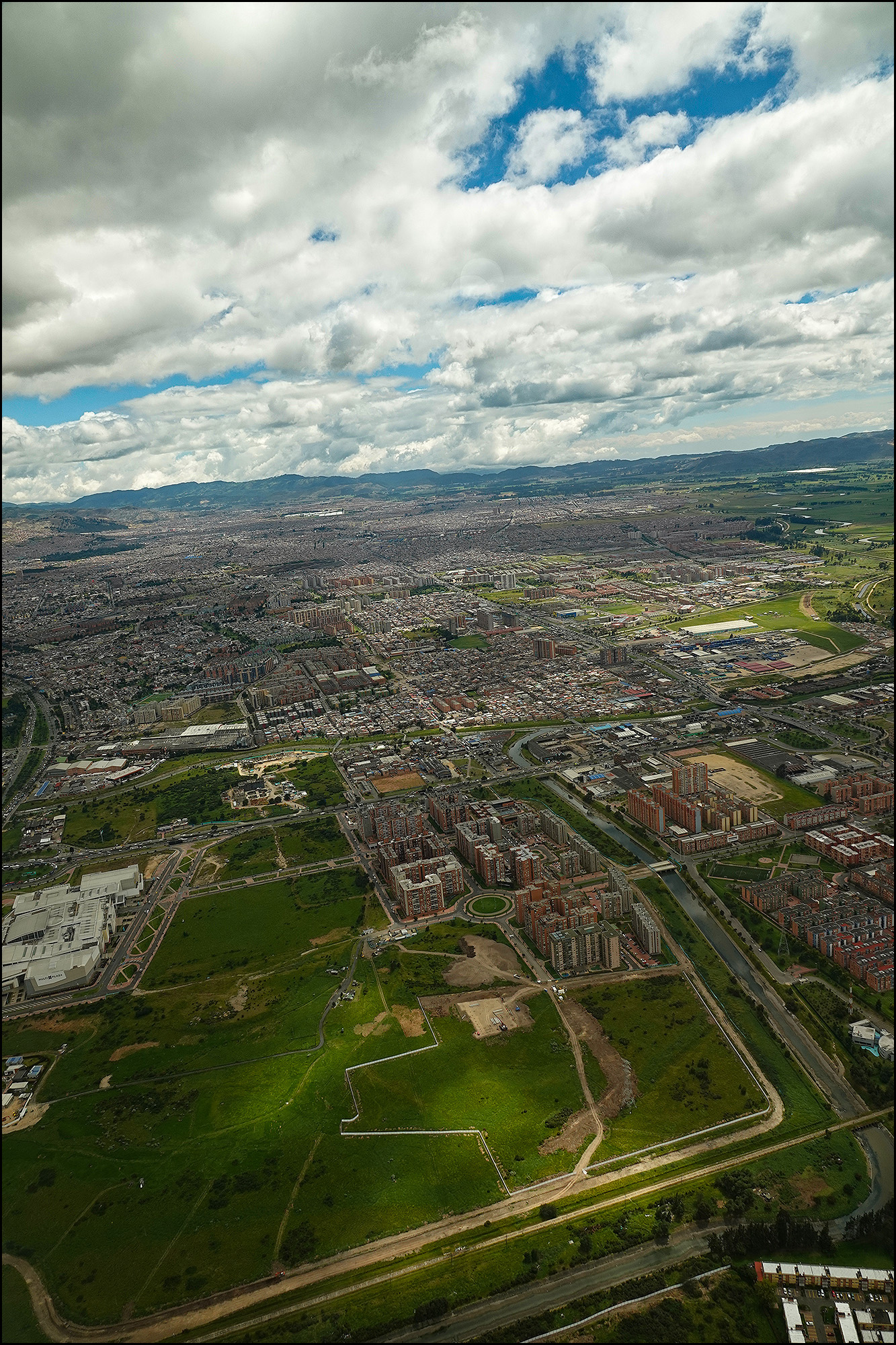
The Parque de Ventas La Felicidad.
As we turned west we came up on the Tintala neighborhood, with what looks like a reservoir on the middle right.
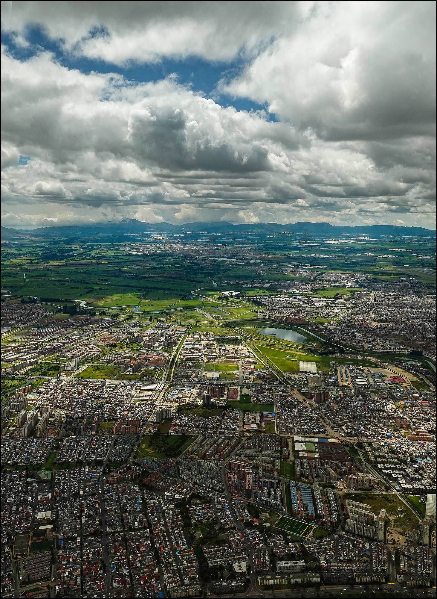
The Tintala neighborhood of Bogotá.
Continuing west, we flew over a quarry near the town of Fute.
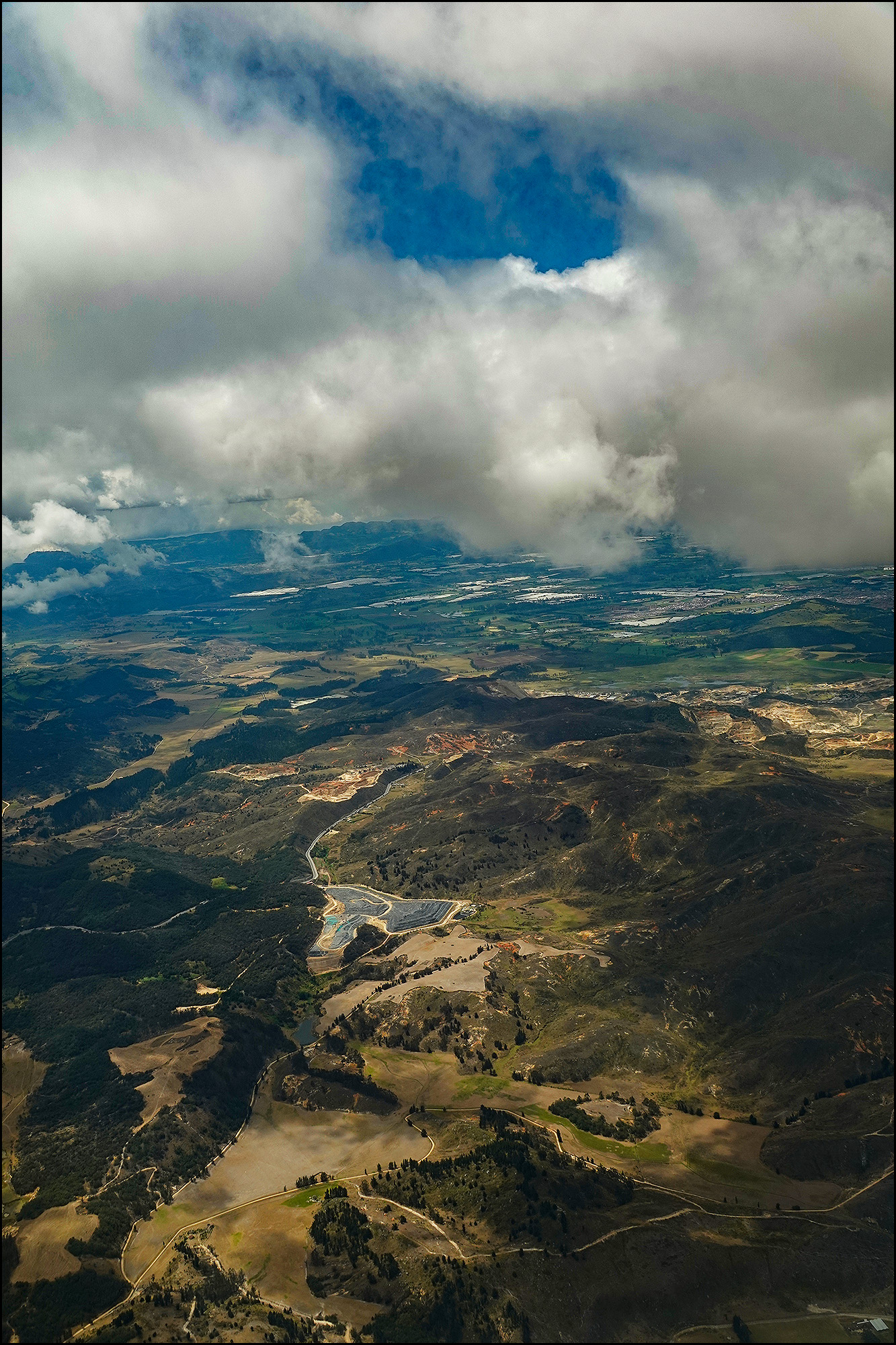
A quarry about 15 miles west of Bogotá.
Are we done yet? By no means! I won’t torture you with all of the 453 pictures I took from the window of the plane, but I don’t want you to miss out either. And who else is going to look at them? A couple of hours into the flight we were over Central America and the cloud cover was mesmerizing. Here’s a towering cumulus cloud formation from 40,000 feet.
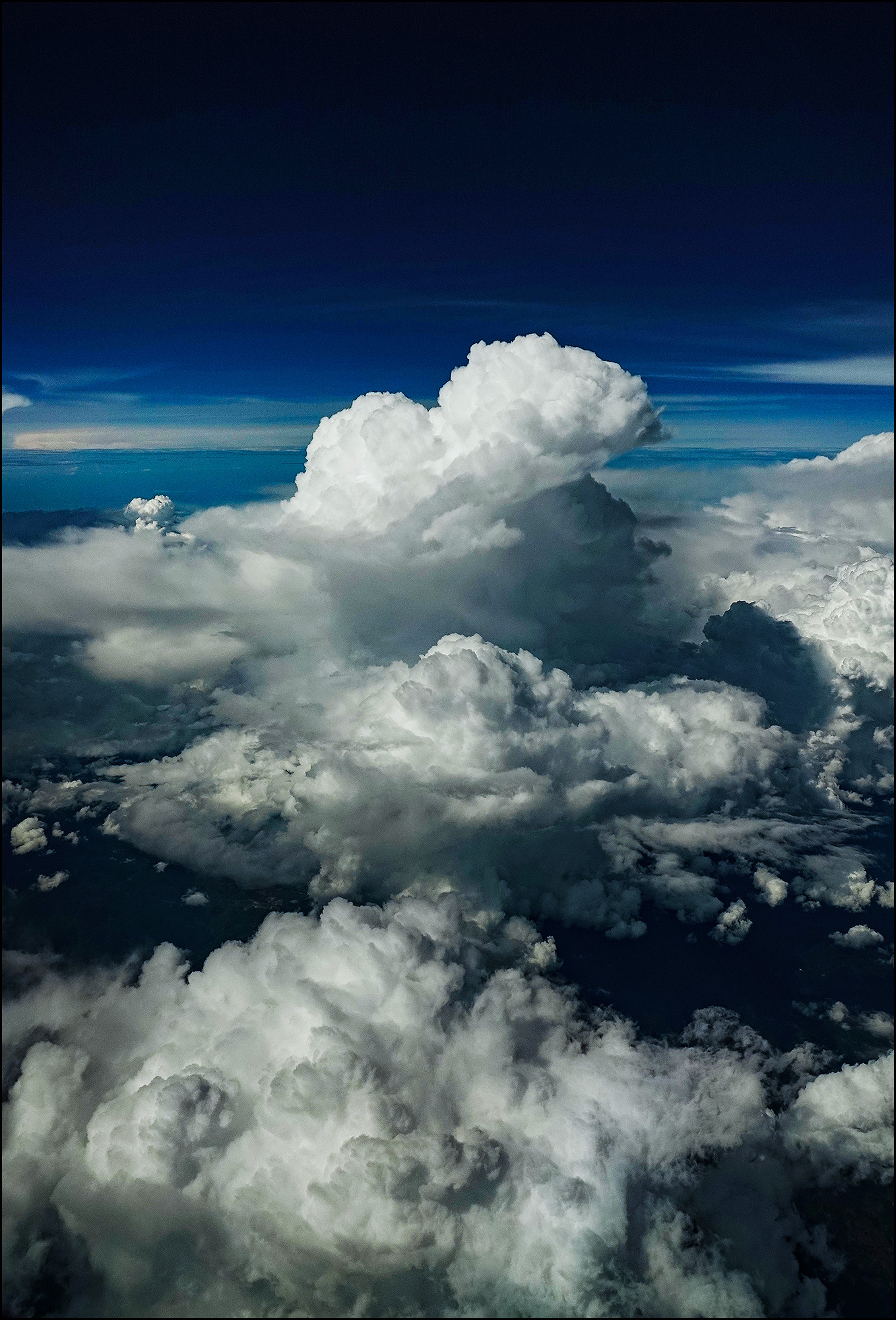
A cumulus cloud over Central America somewhere.
This is the jet turbine of our 787 shot at 1/32000th of a second.
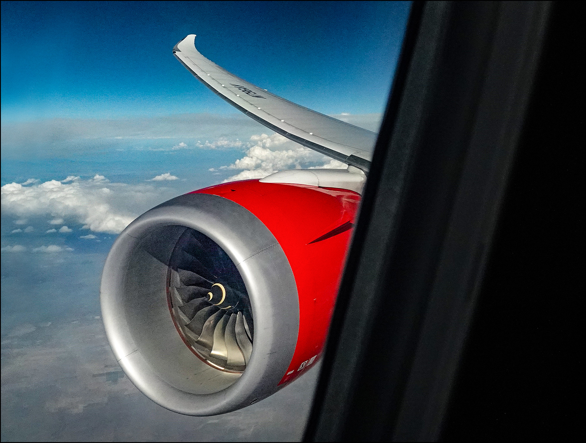
A jet engine shot at high shutter speed.
Below, these strange markings over Mexico only make sense from the air. Surely they can’t be the work of man?
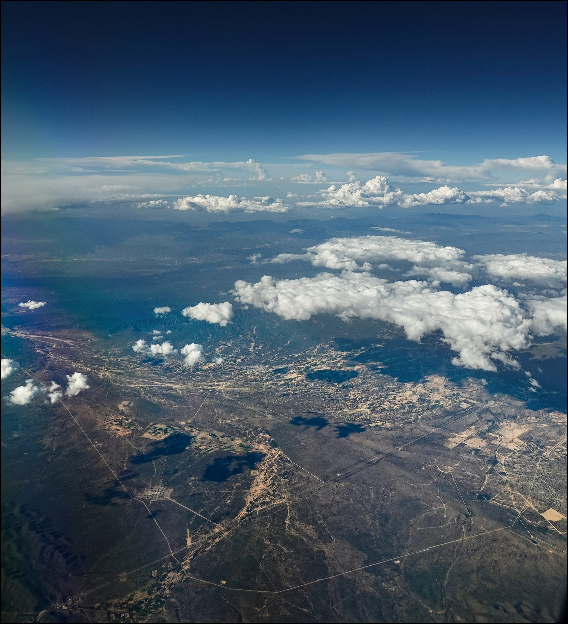
Footsteps of the gods?
After three hours over Mexico we crossed the border near San Diego and then flew past Oceanside. Almost home! A few minutes later we got a great view of Orange County.
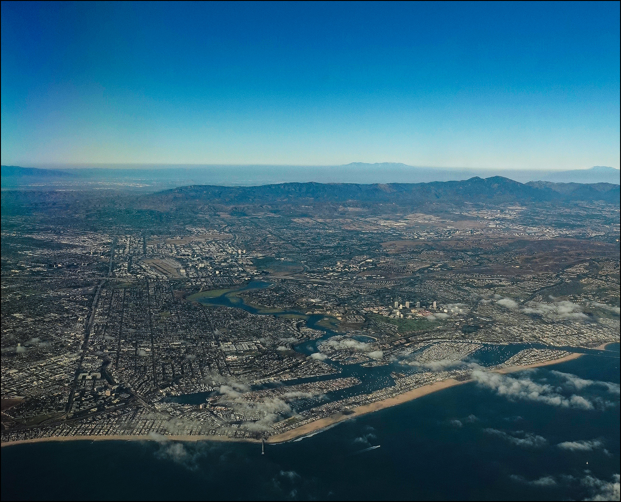
South Orange County from the air.
At the bottom of the picture you can see Lido Isle (left) and Balboa Island (right) protected by the Balboa Peninsula. The waterway snaking up from between them is Back Bay. John Wayne Airport is at center left. My neighborhood in Irvine is dead center in the photo.
About 30 miles further along we got a nice view of downtown LA. That’s the 710 freeway on the right and the San Gabriel mountains in the background behind the haze.
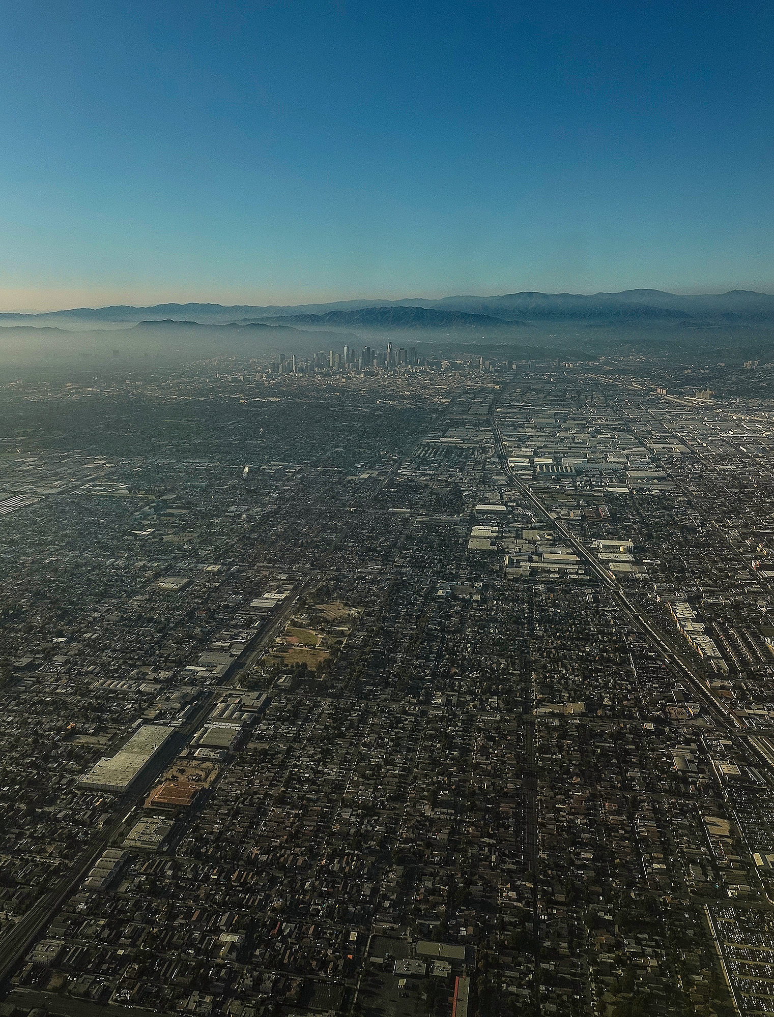
Downtown Los Angeles with the San Gabriel mountains in the distance.
The approach to LAX goes over Inglewood, home of the new multibillion-dollar sports palace being built for the Rams and the Chargers. The Fabulous Forum, former home of the Lakers, is just above it.
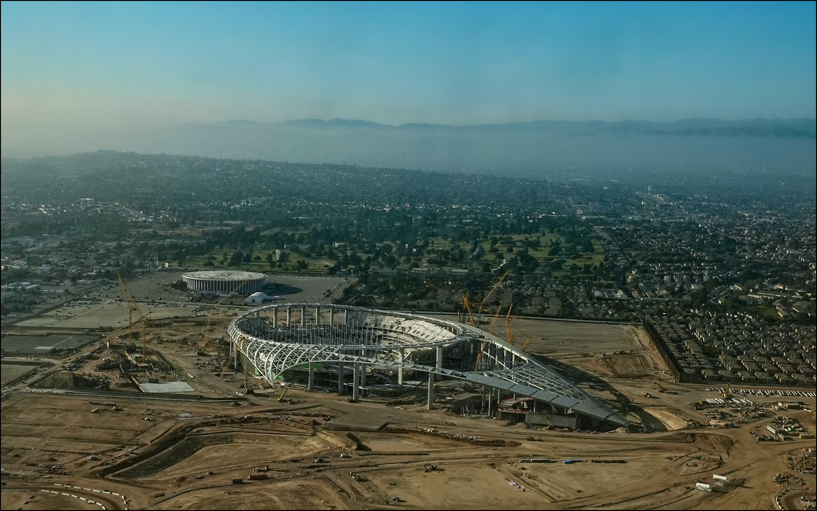
The new Rams/Chargers stadium under construction in Inglewood.
A few seconds later we touched down at LAX, and by 8 pm I was home. It was August 9, 2019. My passport expires on August 19. Time for a new one.


