Typhoon Vongfong—the word means “wasp” in Cantonese—brought torrential rain and damaging winds to Japan overnight, as it continued its northward trajectory across the Japanese islands. The powerful storm arrived just a week after Japan was hit by another typhoon, Phanfone, which took the lives of three US airman off Okinawa, a southern Japanese island where the US maintains a large military base. Last week, Vongfong became the strongest cyclone system observed all year, anywhere in the world—equivalent to a category 5 hurricane. It was downgraded to a tropical storm as it hit the Japanese island of Kyushu. The Japan Times is reporting that the storm has left at least 61 people injured and one missing, with hundreds of thousands advised to evacuate. Authorities took steps to protect the Fukushima Daiichi Nuclear Power Station, the site of the 2011 meltdown.
Here are some photos of the storm as it moved through northeast Asia:

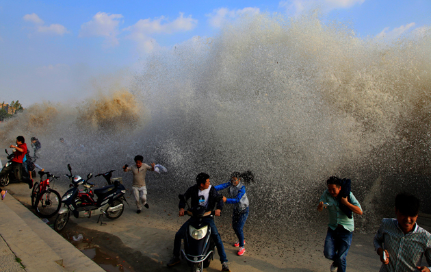
The storm created powerful waves in Wenling, in the coastal Chinese province of Zhejiang, on Sunday, drawing thrill-seeking crowds Whitehotpix/ZUMA

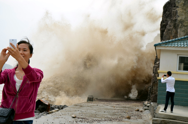
Not exactly the safest place to attempt a selfie. Whitehotpix/ZUMA

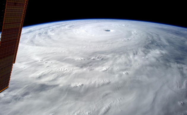
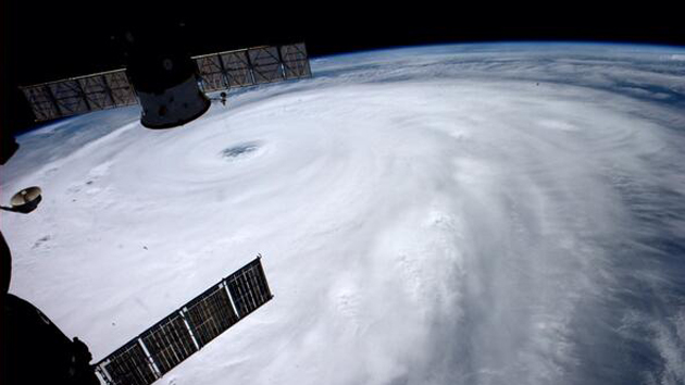
The view of the storm from the International Space Station last Thursday reveals its enormity. It was downgraded to a tropical storm as it made land fall in Japan. Alexander Gerst/NASA

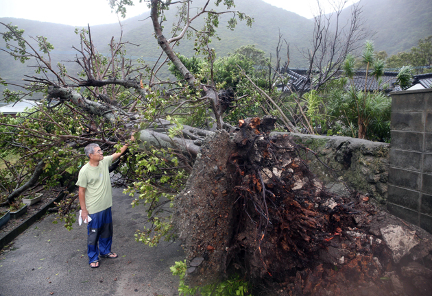
A huge tree upended by Vongfong’s force on the coast of Setouchi, Kagoshima, on Sunday October 12. While the storm has been downgraded, it has increased in size, and still contains a huge amount of moisture. The Yomiuri Shimbun/AP

Waves pound the coast in the city of Kochi on the Japanese island of Shikoku on Monday October 13, 2014. The storm grounded 300 flights. Kyodo/AP

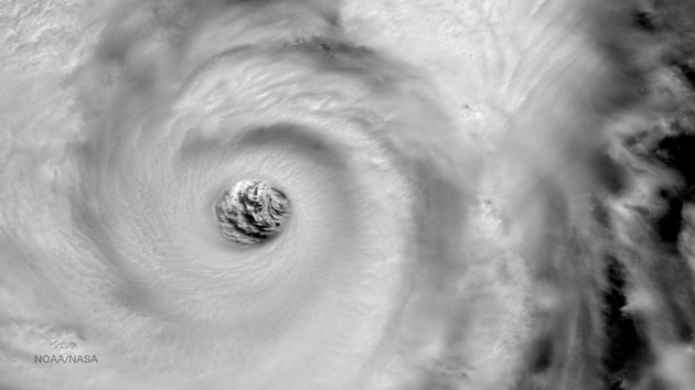
This photo of the super typhoon last week showed the eye of the storm was approximately 50 miles wide. NOAA/NASA

Streets were (almost) empty and shops shuttered in Toyko as Vongfong approached last night. The storm is expected to pass over the capital on Tuesday. kodomut/Flickr
